Module 2: Mapping
 When was the last time you used a map to find your way? It may have been a program like Google Earth™ to find your house using satellite images, or you may have used a GPS on a mobile device to give you turn-by-turn directions in the car. You may use all kind of mapping technologies in your daily life.
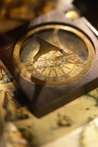
Creating maps has long been a part of human history. From early maps of the night sky drawn on cave walls, to the hand-drawn maps of ancient Babylon and Greece, to modern computer-generated maps of the ocean floor, humans have always been interested in documenting the world around them. Today, maps are used for many purposes, including determining the direction, the size, and the location of objects in space, on land, and under the oceans. Maps are also used to visually represent data such as world population or carbon dioxide emissions by country. In this module, you will explore how and why maps are made, differentiate between different types of maps, interpret topographic maps, and examine the most current mapping technologies.
Getting Started
![]()

![]() Maps can help you find where you want to go, as well as figure out how to get there safely. In addition, Earth scientists use maps to study astronomy, geology, meteorology, and oceanography. In this game, answer challenge questions to try and move your racer across the map of the world. Click the player button to get started.
Maps can help you find where you want to go, as well as figure out how to get there safely. In addition, Earth scientists use maps to study astronomy, geology, meteorology, and oceanography. In this game, answer challenge questions to try and move your racer across the map of the world. Click the player button to get started.
Key Vocabulary
![]()
To view the definitions for these key vocabulary terms, visit the course glossary.
| bar scale | latitude | Ptolemy |
| cartography | legend | remote sensing |
| compass rose | longitude | Robinson projection |
| conceptual model | map | satellite imagery |
| Conic projection | mathematical model | scale |
| contour line | Mercator projection | thematic map |
| date (map) | model | title |
| distortion | outcrop | topographic map |
| elevation | physical map | topographic profile |
| Equator | physical model | topography |
| fractional scale | political map | triangulation |
| globe | Prime Meridian | verbal scale |
| image model | projection | |
| landforms | profile line |