Module 2: Mapping
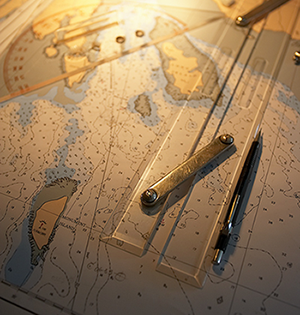 Mapping is a very important skill in science. Even the very first hand-drawn maps were produced in an effort to understand the place of humans in the world and the universe at large. Today, maps are made using satellite and computer technologies, but they still provide a visual perspective of the Earth from afar, close-up, or anywhere in between. Maps are used to organize and communicate large amounts of scientific data, while topographic maps express the three-dimensional contours of the landscape in a two-dimensional map. There are certainly no shortage of ways to use and interpret the wealth of information provided by maps and mapping technologies.