Physical and Climate Regions
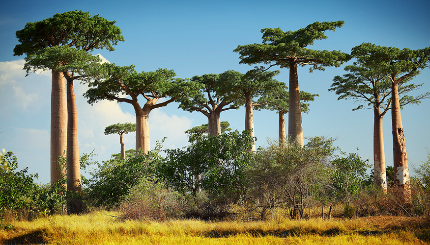
Geographers divide the world into regions to focus on smaller units of study. These regions evolve due to physical, cultural, economic, or other similarities. For example, geographers create regions based on climate and vegetation. This helps them understand how environments differ around the world.
The term climate refers to a location’s weather conditions over a long period of time. Proximity to water, wind patterns, ocean currents, elevation, and nearby landforms effect a climate. Latitude is the primary indicator of climate on Earth. Thus, climate regions are usually grouped by the latitude into which they fall. This includes high latitudes, middle latitudes, and low latitudes.
One of the best ways to study and compare climates is through the use of climate graphs. In this topic, you used climate graphs to compare patterns of the ten major climate regions of the world. You also learned major characteristics of vegetation regions, and can identify their locations within climate zones.