Physical Geography of Southeast and East Asia
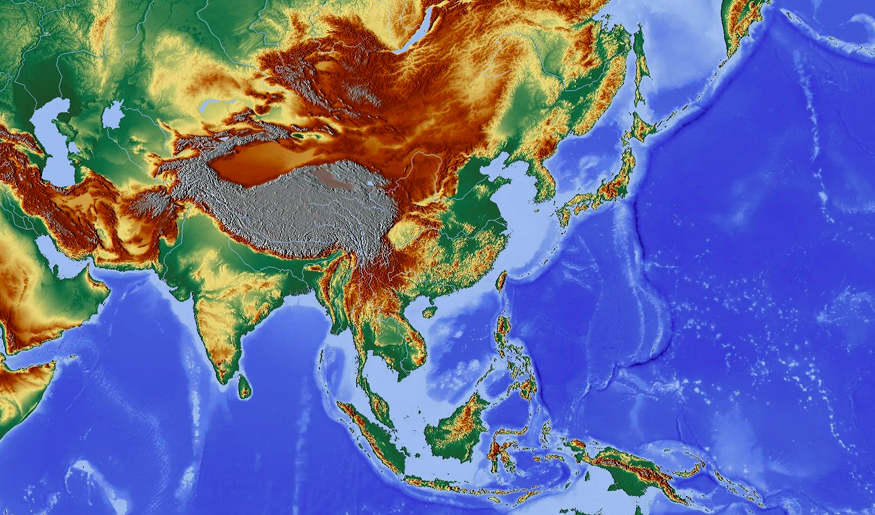
In this topic, you will explore the diverse physical geography of Southeast and East Asia. Southeast Asia is situated between the Indian Ocean and the Pacific Ocean. East Asia extends from the Pacific coast to the interior of the Asian continent. These regions include multiple peninsulas and thousands of islands. The physical landscape contains rugged mountains, flat plains, major rivers, and a huge plateau. As you explore, you will learn how these features influence the climate and environment.
Essential Question
- What are the major physical and environmental features of Southeast and East Asia?
Warm-Up
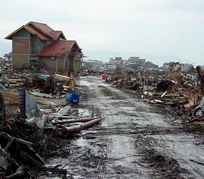
Destruction caused by a tsunami in Indonesia
![]() Southeast and East Asia are prone to many natural hazards like typhoons, volcanic eruptions, earthquakes, and tsunamis. Although your community may not have the same natural hazards, others are possible.
Southeast and East Asia are prone to many natural hazards like typhoons, volcanic eruptions, earthquakes, and tsunamis. Although your community may not have the same natural hazards, others are possible.
- What types of natural hazards could affect your local or national community?
- How does your family prepare for natural hazards?
- Do you have any fears when it comes to natural hazards? Explain.
Post your responses to these questions in the discussion area. Then, return to the topic several times over the next few days to read your coursemates’ posts. Reply to at least two of them, being sure to offer new insights, ask questions, and encourage further conversation.