Pre-Columbian Civilizations in the Americas
Google EarthTM Scavenger Hunt
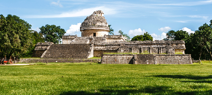
Ancient observatory at Chichén Itzá
Now that you have examined the Mayan, Aztec, and Incan civilizations, you will explore the existing ruins of these three groups. Using the global information systems web application, Google EarthTM, you will find the important locations of three early American civilizations.
Visit the Google EarthTM website and install the plug-in, if prompted. See the Student Resources section for help if it is not installed. If you are not sure how to use this application, before you begin, take a moment to check out the Video Tutorials on Google EarthTM.
After you have viewed the videos, complete the following tasks to practice with Google EarthTM before you begin the assignment.
Task 1: Find a Region
- Click on the Google EarthTM icon to start the application.
- Center your map so you can see your local city or town. You can also use the Search function in the upper left corner of the application window.
Task 2: Experiment with the Controls
- Move your mouse to the right side of the screen. Click on the plus (+) and minus (-) buttons to zoom in and out.
- Move and rotate the globe by clicking on it and dragging with the mouse.
Task 3: Use Layers
Geographic Information System (GIS) programs show information in layers, or groups of related elements. You can use layers to add additional data to the map such as borders, geographic features, traffic, weather, population density, and landmarks. In this activity, you will use the layers provided by Google EarthTM.
Now that you are all set-up in Google EarthTM, you are ready to complete the assignment. Download and use the Scavenger Hunt Template to help guide your work.
 After completing this assignment, please submit your work to the dropbox.