Application

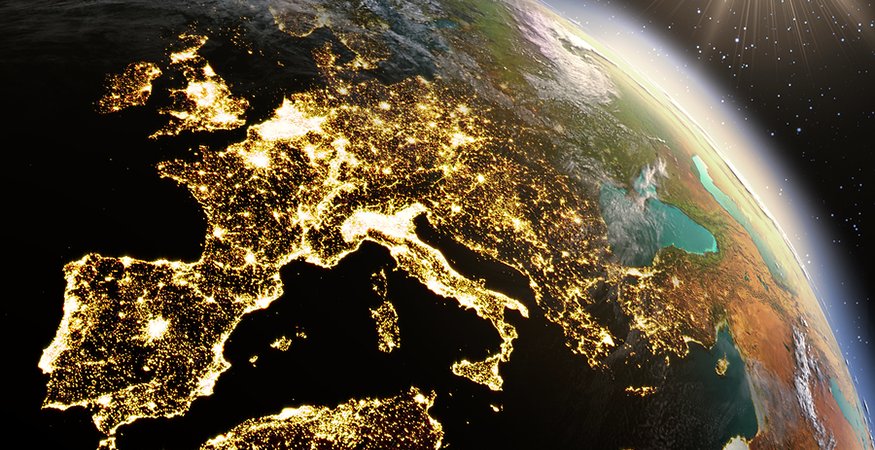
Physical Geography of Europe

Google EarthTM Scavenger Hunt

Now that you have learned about the physical geography of Europe, you will explore the continent using a geographic information system (GIS). You will use the web application Google EarthTM to find several important physical features in Europe.

Visit the Google EarthTM website and install the plug-in, if prompted. See the Student Resources section for help if it is not installed. If you are not sure how to use this application, view the Video Tutorials on Google EarthTM before you begin.

Practice with Google EarthTM

Once you have viewed the video tutorials, complete the following tasks to practice with Google EarthTM before you begin the assignment.

Task 1: Find a Region

Task 2: Experiment with the Controls

Task 3: Use Layers

Geographic Information Systems (GIS) show information in layers, or groups of related elements. You can use layers to add additional data to the map. This may include borders, geographic features, traffic, weather, population density, and landmarks. In this assignment, you will use the layers provided by Google EarthTM.

Now that you are set up in Google EarthTM, you are ready to complete the assignment. Download and use the Scavenger Hunt Chart to help guide your work.


After completing this assignment, please submit your work to the dropbox.