


Mapping the World
![]() Different types of maps have different purposes. Some maps are used for navigation, while others show the terrain of an area. In order to better understand maps, it is important to become familiar with the lines of latitude and longitude used on a map. In Earth science, t is also important to know the locations of various landforms in the world.
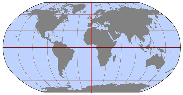
Different types of maps have different purposes. Some maps are used for navigation, while others show the terrain of an area. In order to better understand maps, it is important to become familiar with the lines of latitude and longitude used on a map. In Earth science, t is also important to know the locations of various landforms in the world.
Using the Blank Map of the World, you will need to label the following items:
- Prime Meridian
- Equator
- Lines of longitude in the Western Hemisphere by increments of 30°
- Lines of longitude in the Eastern Hemisphere by increments of 30°
- Lines of latitude in the Northern Hemisphere by increments of 30°
- Lines of latitude in the Northern Hemisphere by increments of 30°
- Lines of latitude in the Southern Hemisphere by increments of 30°
- Continents/Land Masses
- North America
- South America
- Africa
- Asia
- Europe
- Antarctica
- Australia
- Greenland
- Atlantic, Pacific, Indian, and Arctic Oceans
- Mediterranean Sea
- Appalachian, Rocky, Andes, and Himalaya Mountains
- Circle the following islands: Hawaiian, Aleutian, Madagascar, Philippines
Suggestions for completing and submitting your map include:
- Create a hand-written map with labels. Then, take a digital photo of the completed work and submit the photo file to the dropbox.
- Create a hand-written map with labels. Then, scan the completed work and submit the scanned file to the dropbox.
- Create a digital map using available software (e.g., a presentation, publishing, paint, or graphics application). Submit the completed file to the dropbox.
- Use a mobile or computer-based application to create your map and email or export the final product for submission to the assignment’s dropbox.
![]()
Once you have completed your map, please submit your work to the dropbox.