
Mapping the World
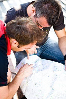 You may not realize how much you use maps, but they are everywhere helping you get from point A to point B. There are maps in your classrooms telling you what to do in case of a fire. There are maps in stores, malls, and there are even digital maps found on mobile devices. Maps are everywhere!
Earth scientists use a variety of models to study and understand how Earth systems interact. Maps are one type of scientific model that are used to identify places, landforms, and even display data. You will see that maps can vary greatly in how they look or what they show, but all maps have some important features in common. In this topic, you will learn about the earliest known map of the world. Also, you will examine which types of maps are better than others in communicating different types of information. Finally, you will explore how cartographers translate information from a three-dimensional globe into a two-dimensional map.
Essential Questions
- When and how were the first world maps created?
- What kinds of information can different types of maps show?
- What are the most common map projections, and what are the benefits and drawbacks of each?