


Analyzing Maps
The Five Parts of a Map
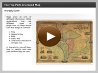 You may have noticed that you need certain elements in order to read a map properly. With all of the different types of maps, it would be impossible to understand the map without a title, and a legend. How would you know what size area you are viewing without a scale? In the interactivity, you will learn how to identify each map part and how it is used. Click the player button to begin.
View a printable version of the interactivity.
Map Scale
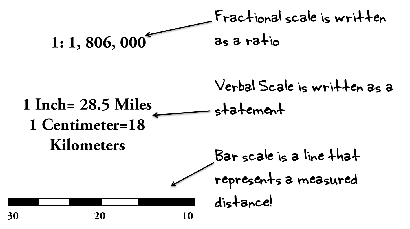 When you are reading a map, it is important to view the map’s scale. A map’s scale provides an important perspective to the map-reader. The scale tells you how large or small of an area you are viewing on a map. A map’s scale can be expressed in one of three ways.
- Fractional scale expresses the distance on a map as a ratio such as 1: 5,000. This means that one unit on the map is equal to 5,000 of the same unit on Earth. A map with a large scale, such as 1: 500,000 will show a large area with less detail, and a map with a small scale such as 1: 50 will show a small area in great detail.
- A verbal scale is when there is a written statement on the map expressing the distance shown, such as “one centimeter is equal to one meter.” This means that one centimeter on the map is equal to one meter in the actual place the map is showing.
- A bar scale, or graphic scale is a line or bar on the map that represents a measured distance on the map.
Determining Latitude and Longitude
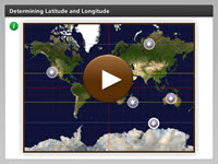 You may have noticed all of the lines on a globe or a map. What do they mean, and how do scientists use them to get the precise locations of certain landmarks? View this interactivity to learn more about finding locations using lines of latitude and longitude in a grid system. Click the player button to begin.
View a printable version of the interactivity.
Time Zones
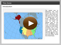 Do you know anyone who lives in a place where the time is different than it is where you live? There are twenty-four time zones around the world, so while you are experiencing daytime, different parts of the Earth are experiencing night and every time between. View this interactivity to investigate how time differs in different parts of the United States. Click the player button to begin.
View a printable version of the interactivity.
Analyzing Maps Review
![]()
 Now that you have explored the parts of a map, latitude and longitude, and time zones of the United States, practice what you have learned. In this non-graded activity, follow the directions on each question slide. Click the player button to get started.