


Topographic Maps
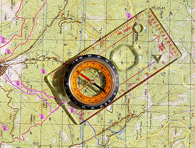 Topographic maps are essential tools used to navigate the Earth's surface. Showing more than basic map features, topographic maps exhibit changes in elevation data at the Earth's surface. The terrain is encoded in the contour lines, which appear as a bunch of densely packed lines. In reality, the lines connect points of equal elevation and the shape and position of these lines represent different landforms. Equipped with a topographic map, you can effectively plan for a camping trip, plan a building, build a road, and much more.