
Interpreting Weather Maps
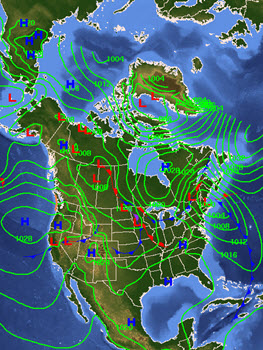 One way that meteorologists communicate weather data is through the use of maps. Weather maps can focus on one specific type of data, such as air pressure, temperature, cloud cover, and precipitation. Weather maps also have the ability to display several types of data on the same map, giving a larger understanding of short-term weather patterns. In this topic, you will learn to interpret a station model, an internationally recognized group of symbols used to represent different weather data. You will also explore several different types of maps that communicate weather data.
Essential Questions
- What does a station model communicate about weather data?
- How do different types of weather maps communicate weather data?