


Satellite Imagery and the Global Positioning System
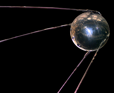
A model of Sputnik 1
The mobile phone in your back pocket is a computing powerhouse. It can process information faster than the computers used to help land a man on the Moon. With the help of GPS technology, smart phones can also serve as hand-held maps that give you detailed driving directions or locate specific places. Mobile phones rely on satellite and wireless technologies to connect to endless amounts of data. These technologies are critical innovations that have advanced methods of map making and monitoring the Earth.
Smart phones with GPS technology are able to communicate with satellites in space. This all began in 1957. During this year, the Soviet Union made history when it successfully launched Sputnik I, the first satellite, into space. The United States launched their first satellite, Explorer I, a few months later. A satellite is an object that orbits another object in space. Earth has one natural satellite called the Moon. Today, decades after Sputnik and Explorer changed science and the world, countless artificial satellites constantly orbit the Earth. Today's satellites serve many purposes including radio, telephone, and Internet communications. It was, in fact, the development of satellite technologies that caused the formation of the National Aeronautic and Space Administration (NASA). NASA pioneered remote sensing, which is a method of obtaining information from a distance.
Satellite Imagery
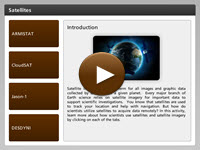 The National Aeronautic and Space Administration (NASA), the National Oceanic and Atmospheric Administration (NOAA), and the United States Geological Service (USGS) all use satellites to monitor natural occurrences on the surface of the Earth. NASA's uses include a variety of satellites for a variety of different purposes. The most widely-known service that NOAA performs is weather prediction. NOAA uses a network of satellites to monitor water vapor patterns in the atmosphere to help them predict weather. USGS uses satellites to monitor geological changes on Earth's surface, such as coastal erosion and seismic activity. In this interactivity you will learn more about how scientists use satellites and satellite imagery. Click the player button to begin.
View a printable version of the interactivity.
Global Positioning System (GPS)
GPS is an acronym for the Global Positioning System. The GPS is a navigational system that operates with the help of a network of twenty-four coordinated satellites and numerous Earth-based stations. If you have a device with a GPS receiver, then you can accurately calculate your location on Earth’s surface within a few meters. Since advances in technology have made it possible to miniaturize GPS receivers, this technology is being used in many different capacities such as cars, boats, planes, dog collars, sunglasses, and mobile phones.
![]() How exactly does GPS work? How do satellites track your precise location to within a few meters? To find out how this system works view the activity GPS: Where in the World Are You?, from eMediaVA℠.
How exactly does GPS work? How do satellites track your precise location to within a few meters? To find out how this system works view the activity GPS: Where in the World Are You?, from eMediaVA℠.
Satellite Imagery and the Global Positioning System Review
![]()
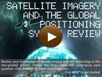 Now that you have explored satellite imagery the GPS, review your knowledge. In this non-graded activity, enter the appropriate answer into the blank space provided. Then, click SUBMIT to check your responses. Click the player button to get started.