


Satellite Imagery and the Global Positioning System
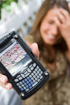 Pretend for a moment that you and a group of friends were asked to embark on a challenge. The challenge splits you and your friends into two separate groups. One group would be allowed to use a GPS, and the other would be given a set of detailed maps and a compass. The groups would then be brought to a location in a forest environment and asked to travel the same predetermined course. With which group would you rather be? Who do you think will make it through the course first? Which group will have the easier time navigating the course? Before you answer, think about the challenges that both groups may encounter.
![]() Post your responses to the discussions area. Then, return to the topic several times over the next few days to read your coursemates' posts. Reply to at least two of them, making sure to offer new insights, ask questions, and encourage further conversation.
Post your responses to the discussions area. Then, return to the topic several times over the next few days to read your coursemates' posts. Reply to at least two of them, making sure to offer new insights, ask questions, and encourage further conversation.
![]() Once you have posted your initial idea in the discussions area, see how a similar experiment works out for a group of students. View this experiment in the eMediaVA℠ video clip, GPS vs. Compass.
Once you have posted your initial idea in the discussions area, see how a similar experiment works out for a group of students. View this experiment in the eMediaVA℠ video clip, GPS vs. Compass.