
Satellite Imagery and the Global Positioning System
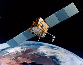
An artist's conception of Navstar, a GPS satellite
Anytime you obtain information from a distance, you are using the principals of remote sensing. Remote sensing is very helpful in Earth science. Can you imagine having to study a volcano from the volcanic rim? How could an oceanographer learn about changes on the deep ocean floor? Technological advances and remote sensing make all of this possible. One way scientists gain information from a distance is to use satellites. The use of satellite imagery began shortly after the first satellites were launched into space. As scientists and engineers began to utilize the full potential of satellites, the Global Positioning System (GPS) was set up. This system has the ability to provide precise navigation information. In this topic, you will learn about remote sensing, the use of satellite imagery, and the Global Positioning System.
Essential Questions
- What is remote sensing, and why is useful to Earth scientists?
- What is satellite imagery, and how is it used to support scientific investigations?
- What is the Global Positioning System (GPS), and how does it work?